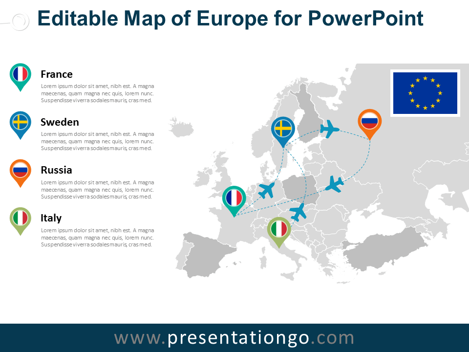
Free map of Europe for PowerPoint. Map with European countries and colored location pins. Fully editable graphics with text placeholder.
Map of Europe
Use this map for your infographic information, geographical data, to locate offices or some specific places, to show paths…
Shapes are 100% editable: each European country is an independent shape that can easily be separated, dragged, colored, outlined and labeled.
Includes 2 slide option designs: Standard (4:3) and Widescreen (16:9).
Widescreen (16:9) size preview:
 PowerPoint Map")
 PowerPoint Map - Dark Background")
This ‘Europe Editable PowerPoint Map’ features:
- 2 unique slides
- Light and Dark layout
- Ready to use template with text placeholder
- Completely editable shapes
- Standard (4:3) and Widescreen (16:9) aspect ratios
- PPTX file
Free fonts used:
- Helvetica (System Font)
- Calibri (System Font)


Comments are closed.