• Blog
Free PowerPoint & Google Slides Templates

Maps & Flags

9 templates

Find free PowerPoint maps and flag graphics for regional, national and global presentations. Every world, continent and country map is editable, so you can recolor regions and add data in PowerPoint or Google Slides.

South Korea Regions Map for PowerPoint and Google Slides with labeled provinces, major cities, Jeju Island, and data cards.

South Korea Regions Map

Present South Korean geography using a regional map with administrative divisions, metropolitan areas, and essential country statistics.

Google SlidesPPTX

16:9

Flag of South Korea Template for PowerPoint and Google Slides with a fabric-textured Taegeukgi on the right and subtitle text in red.

Flag of South Korea Template

A two-slide Flag of South Korea Template for PowerPoint and Google Slides, featuring a realistic Taegeukgi and clean, editable layout.

Google SlidesPOTX

16:9

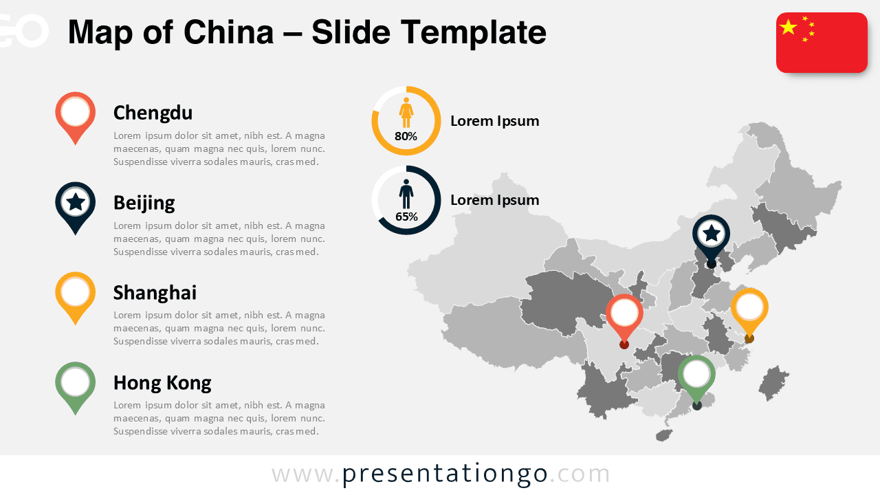
Light background China map slide for PowerPoint and Google Slides with editable provinces, city markers, and demographic visuals.

Map of China

Showcase China’s provinces and major cities with this fully customizable slide for business, education, or tourism insights.

Google SlidesPPTX

4:3,16:9

Widescreen Japan map template with editable prefectures and region indicators for PowerPoint and Google Slides presentations.

Map of Japan

Present geographic insights clearly with a fully editable map of Japan.

Google SlidesPPTX

4:3,16:9

Showing 1–9 of 9 templates