Don’t we use maps all the time? We come across political and physical maps every day. We are also used to seeing climatic maps when we watch the weather forecast for instance. We frequently consult subway, road, and street maps on our smartphones. We also use cadastral maps to define the boundaries of a property, topographic maps when we go hiking and many other thematic maps for specific purposes. Cartographers design maps for a wide range of information, from election results and population density to resource and income. So why don’t you start creating your own maps?
What Are Maps?
Maps are usually a symbolic representation of geographical elements, although many more kinds of map exist. Any space, real or fictional, tiny, or huge, can be represented thanks to a map, in two or three dimensions. We have created maps to depict our oceans, our galaxy, our brain, our DNA, our computers, and the Lord of the Rings’ Middle-Earth!
Why Use Maps In Your Presentations?
The answer to this question is the same as for infographics. Maps make the information easier and quicker to integrate by your audience. If you had to explain the same information with language, whether it be oral or written, it would take much longer, and people wouldn’t remember it as well. Visual information is assimilated by the brain extremely quickly and easily, and therefore allows a much greater possibility of memorization. Indeed, the most important thing in a presentation is to create a lasting impact on your audience, and that is why we must make the process of memorizing easier for them.
Maps can actually show much more than just places. They can transmit any kind of information linked to a specific place. For example, you can use different colors, or tones of the same color, to show and compare numbers or stats according to locations: neighborhoods, cities, regions, countries, or whole continents. Maps also offer the possibility to show changes and evolution over a period of time, just like the useful maps we used to study in our history classes. Today’s animation tools even allow us to bring movement to our maps and showcase dynamic processes.
However, we must beware not to use maps as slide-fillers or mere decorative elements. We must indeed pay attention to three aspects: the relevance of the map, its clarity, and its design. If your map is pertinent, easy to understand and eye-catching, then its impact on your audience will be strong and long-lasting. Last but not least, remember the infographics of your presentation can combine a map and a chart or diagram. You can, for instance, superimpose a bar or pie chart over a geographical zone.
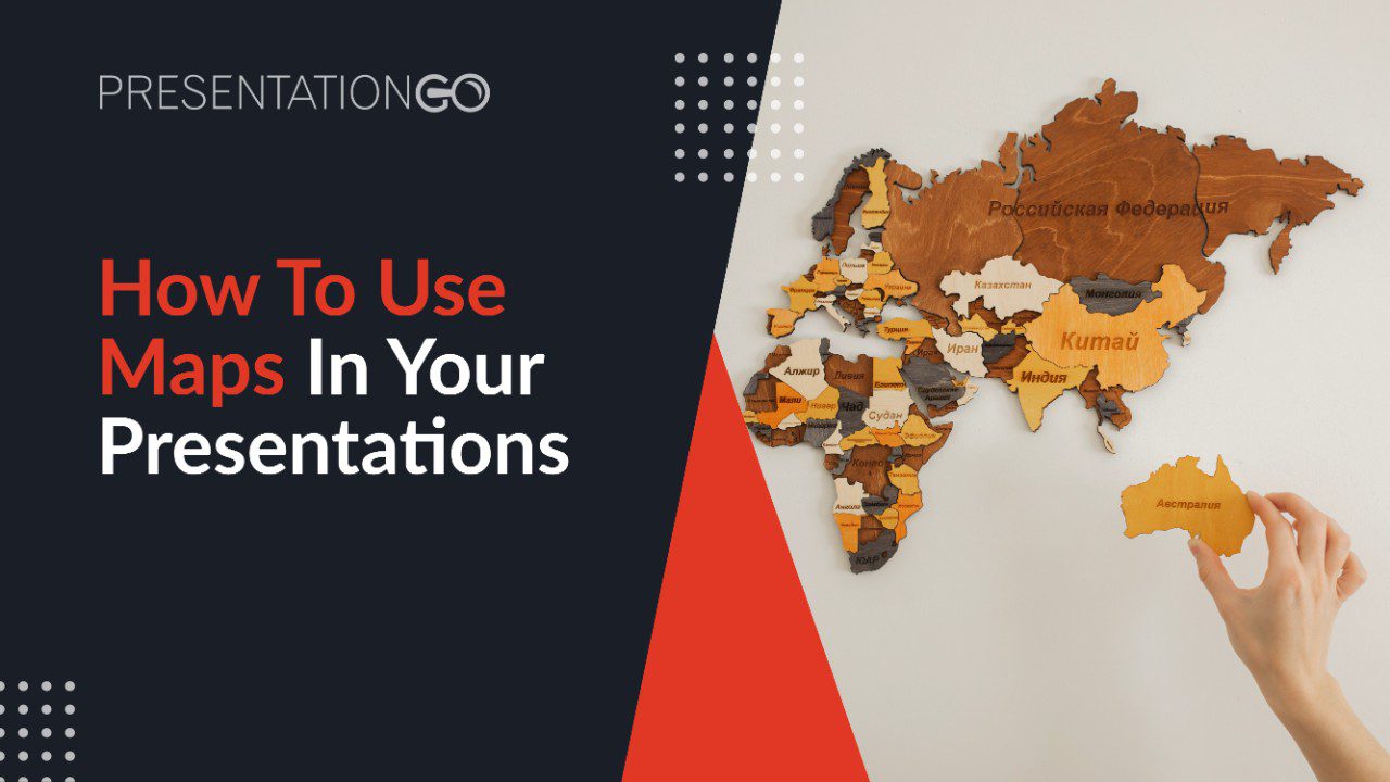
Now we offer you 10 innovative ideas of how to make your maps shine in your presentation. You can also have a look at our maps collection and pick the template you need.
1. Pinpoint With Pinheads, Or Not!

The main and original objective use of maps is to locate a specific place. We usually achieve this with a pinhead. One example is the “You are here” sign on street or road maps which is almost always represented as a pinhead. However, according to your objective, you can try to be more original and pinpoint a specific place with something else. It could be a photo of a well-known place in a city or country, an image of the buildings of your company or a picture of a person who works there.
2. Adapt Your Map To Your Topic

Most maps are multi-purpose and can be adapted to all kinds of topics or fields of work. But what if you tried finding or designing a map that fits perfectly the theme of your presentation? Let us give you a few examples: if you are giving a presentation about food import and export, why not use a world map actually made of food? If you are presenting about European finance or banking, why not show a map made of Euro coins?
3. Make Your Map Unique With Customized Elements

Your main objective is to grab your attendees’ attention, so show them something they have never seen before. It may require a little design work on your part to personalize your map with original elements (pinheads, pictures, logos of your brand…). Yet remember to always keep it clear, simple and easy to memorize.
4. Highlight Specific Places With Originality

You can direct your audience’s eyes toward a specific place of your map. How? There are several options: use a distinct and attractive color, make the actual size of the region bigger, make it jump to the foreground, animate the place, hide, or dim the places around it, etc.
5. Present Transport And Travel Routes

When we are talking about distances, your audience may not need to know the exact number of miles or kilometers. A well-designed map will do the trick of expressing and comparing distances in the blink of an eye.
6. Illustrate Your Stats

Don’t be afraid to combine maps with other charts or diagrams! If you need to convey and compare stats about specific places, you can use a map instead of the old-fashioned stat table.
7. Polish The Design

Once you have checked your information, make sure that your design is attractive to the eye. Check the scale, colors, visual contrast, and balance. A clever design not only grabs attention but also improves legibility.
8. Let Your Maps Come To Life

Another way to highlight a specific place or information on a map is to bring movement to it. You can have elements appearing in a specific order, a change of color when hovering with your mouse and a lot of other ways to convey dynamism to your maps. Just look at the animation tools of your favorite presentation program.
9. Make Your Maps Interactive

If you don’t want to overload your map with information, which might be counterproductive, you can include hyperlinks on specific spots. This will allow you to go to another slide just by clicking on the place.
10. Show Your Mind Map

Remember that maps are not only for places. They can be a great way to present ideas or information in a spatial way, just like in concept maps or mind maps. Take a look at these mind maps templates and let people read your mind!
