• Blog
Free PowerPoint & Google Slides Templates

Maps & Flags

67 templates

Find free PowerPoint maps and flag graphics for regional, national and global presentations. Every world, continent and country map is editable, so you can recolor regions and add data in PowerPoint or Google Slides.

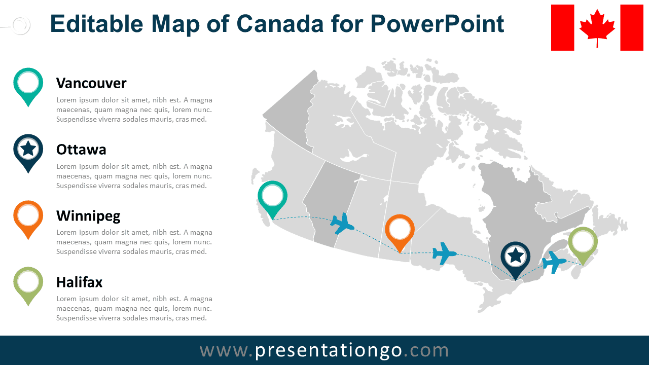
Editable Canada Map Diagram for PowerPoint with province outlines, city markers, travel routes, and location details.

Editable Canada Map Diagram

An Editable Canada Map Diagram for PowerPoint with province outlines, location markers, route paths, text areas, and editable placeholders.

PPTX

4:3,16:9

Editable USA Map Diagram for PowerPoint with state outlines, city markers, travel routes, and customizable location details.

Editable USA Map Diagram

An Editable USA Map Diagram for PowerPoint with state outlines, city markers, route paths, text areas, and editable icon placeholders.

PPTX

4:3,16:9

Showing 66–67 of 67 templates