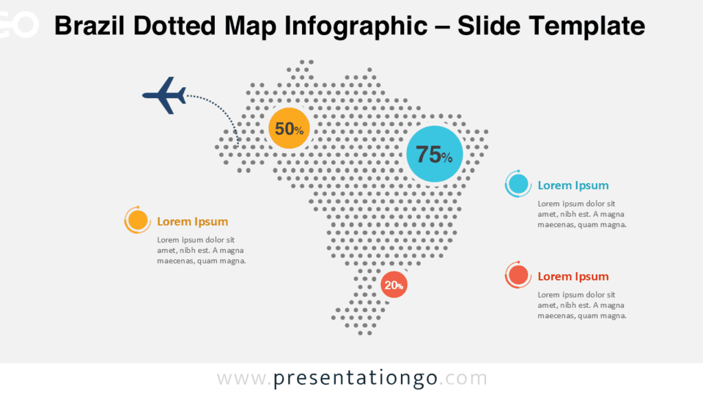
Free map of Brazil for PowerPoint. Map with Brazilian states, colored location pins, and flag. Fully editable graphics with text placeholder.
Map of Brazil
Use this map of Brazil for your infographic information, to visualize geographical data, to locate offices or some specific places, sales territories, to show paths, travel routes, etc.
Shapes are 100% editable: each individual Brazilian state is an independent shape that can easily be separated, dragged, colored, outlined and labeled.
Includes 2 slide option designs: Standard (4:3) and Widescreen (16:9).
Widescreen (16:9) size preview:


This ‘Map of Brazil for PowerPoint’ features:
- 2 unique slides
- Light and Dark layout
- Ready to use template with text placeholders
- Completely editable shapes – Each state is an individual object so that it can be colored and customized
- Includes data-driven charts
- Standard (4:3) and Widescreen (16:9) aspect ratios
- PPTX file (PowerPoint)
Free fonts used:
- Helvetica (System Font)
- Calibri (System Font)


Comments are closed.