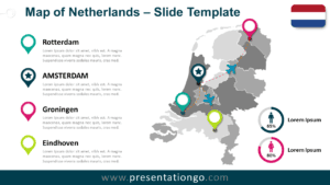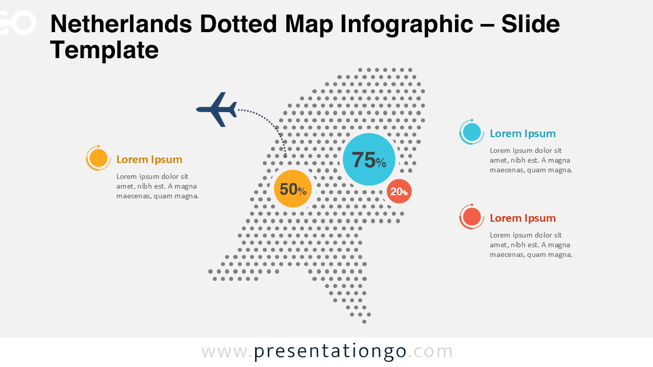
The Netherlands Dotted Map Infographic is a clean and modern visual designed to help you present geographic data with clarity and impact. These slides are optimized for professional presentations, reports, and educational materials where country-level insights matter. It works seamlessly in both PowerPoint and Google Slides, ensuring flexible use across platforms.
With its dotted structure and balanced layout, this map allows audiences to quickly understand spatial information without visual overload. The design supports data callouts, percentages, and annotations, making it ideal for analytics-driven storytelling.
Map Preview


Features and Customization Options
- Editable dotted map shape of the Netherlands
- Editable shapes, arrows, and text placeholders
- Includes editable icon placeholders for visual markers
- Customizable percentage circles and data callouts
- Light and dark background versions included
- Easy color adjustments to match brand guidelines
- Fully compatible with PowerPoint and Google Slides
Design and Structure
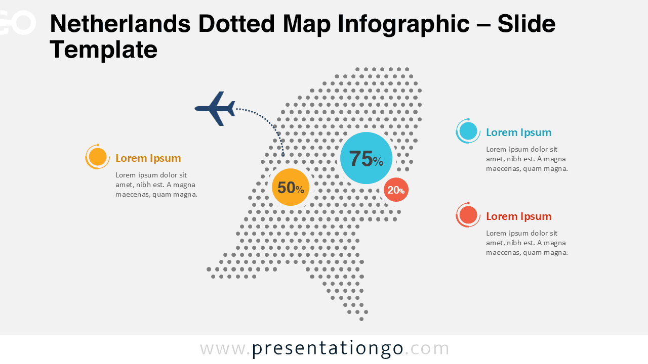
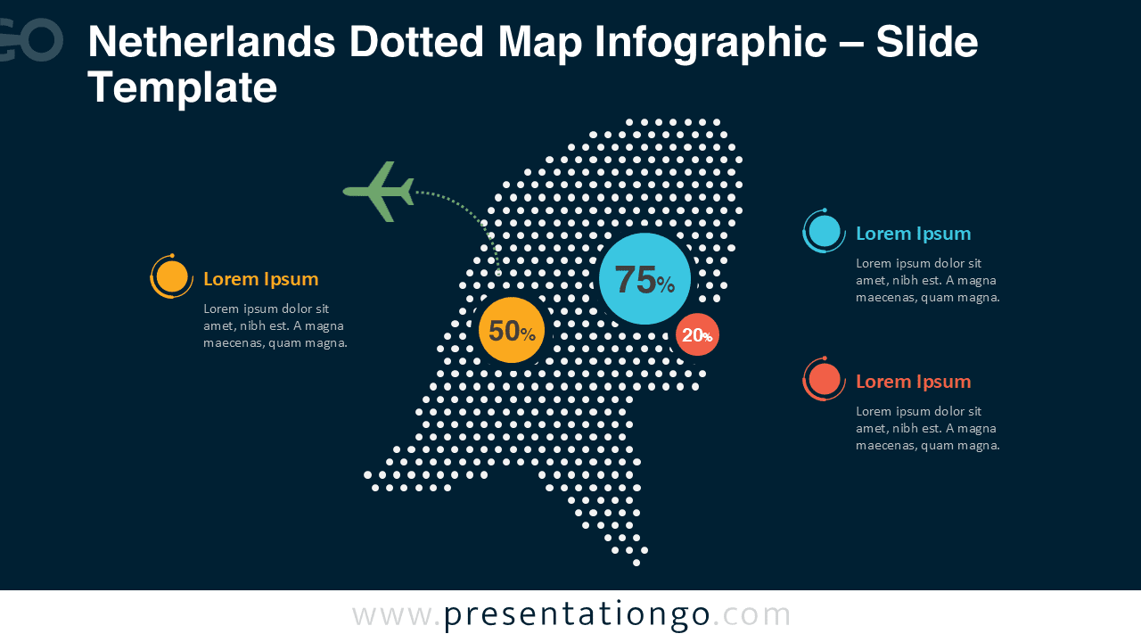
This infographic uses evenly distributed dots to define the national outline of the Netherlands. The structure maintains geographic recognition while offering a neutral base for overlays and highlights. The composition leaves enough white space for labels, annotations, and explanatory text.
Both light and dark slide versions are included to support different presentation contexts. The dark version works well for conference presentations and large screens, while the light version fits reports and documentation.
Practical Applications
- Market presence and regional performance analysis
- Country-focused business or strategy presentations
- Logistics, transportation, and infrastructure mapping
- Educational geography and social studies content
- Public policy, sustainability, or demographic reports
Summary
The Netherlands Dotted Map Infographic offers a practical and visually consistent way to communicate geographic information. With editable elements, dual background options, and full compatibility with PowerPoint and Google Slides, it adapts easily to many use cases. This is a reliable choice for professionals who need clear, presentation-ready map visuals.