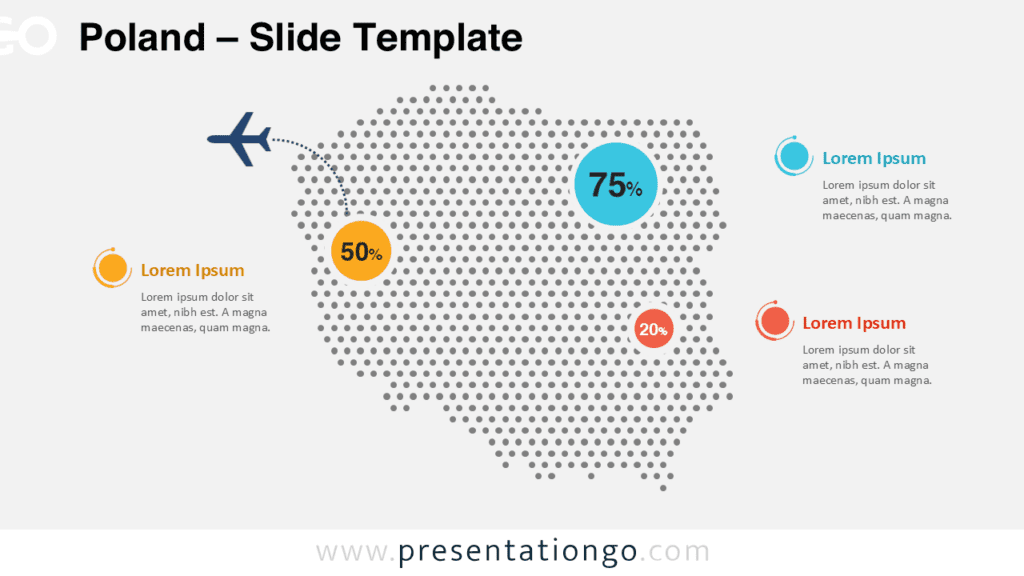
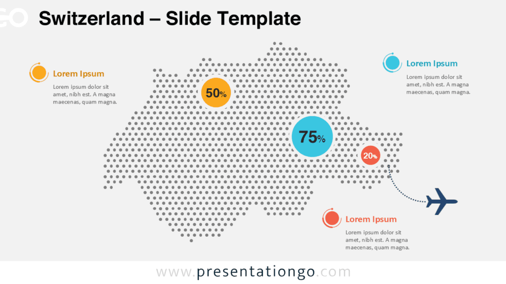
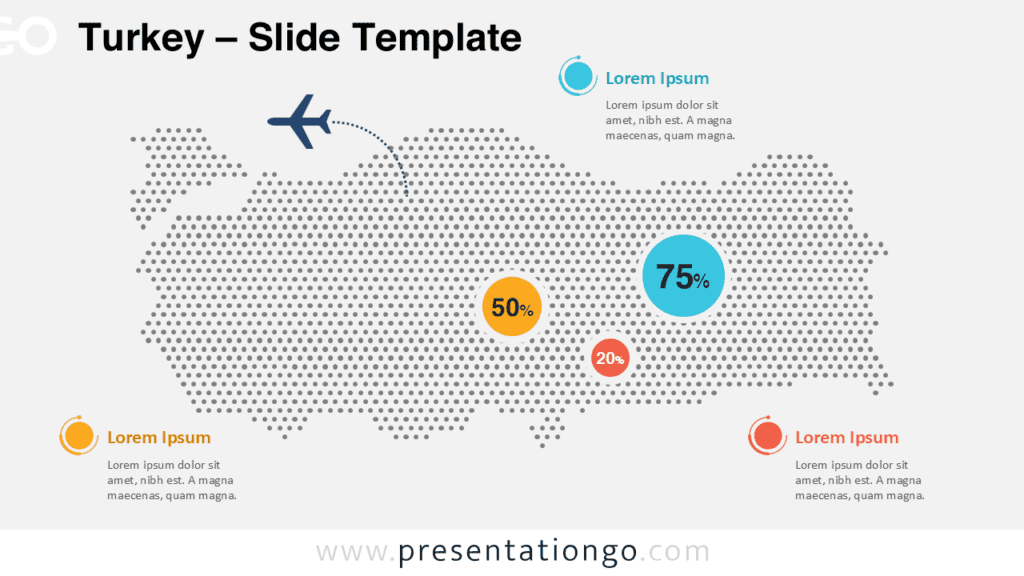
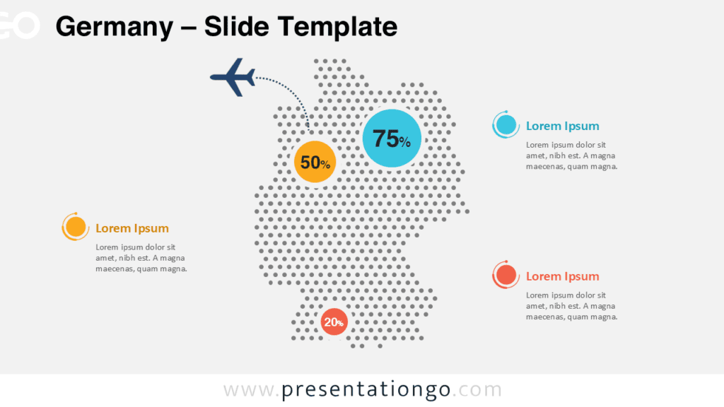
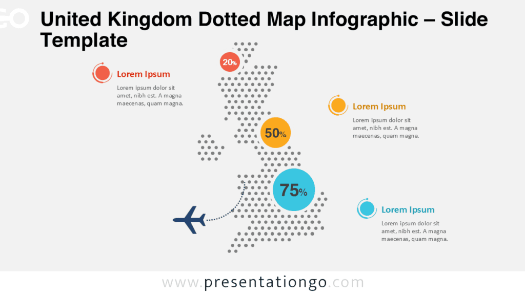
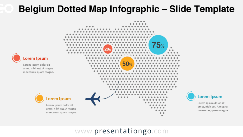
The Italy Dotted Map Infographic is a clean and modern visual designed to help you present geographic data clearly and effectively. Built for both PowerPoint and Google Slides, this infographic allows you to highlight regional information, statistics, or key locations across Italy with strong visual impact.
Using a dotted pattern map improves readability while maintaining a minimalist style. This design works well for business presentations, educational materials, and data-driven reports where clarity and structure matter.
Dotted Map Preview

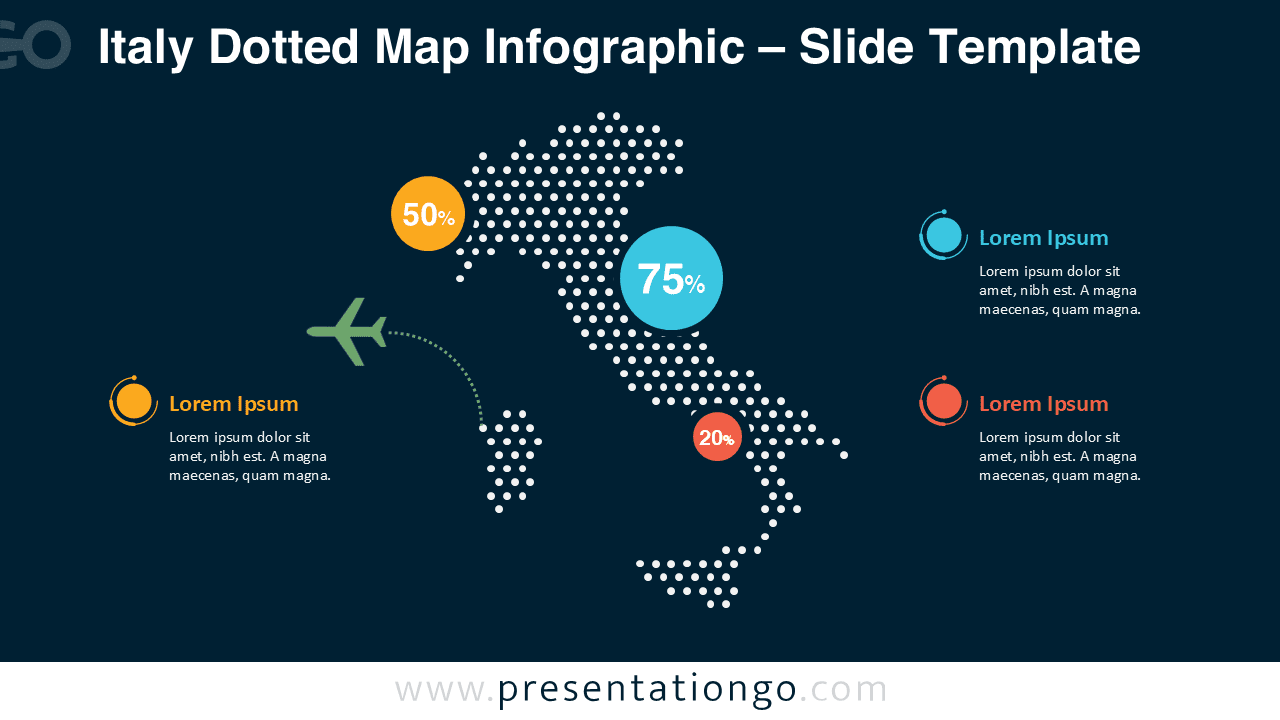
Diagram Features and Customization Options
- Editable dotted map shapes built with clean, scalable vector elements
- Fully editable arrows, connectors, and callout shapes
- Customizable text placeholders for labels, values, and descriptions
- Includes editable icon placeholders that can be replaced or removed as needed
- Light and dark background versions included
- Easy color customization to match your branding or presentation theme
- Compatible with both PowerPoint and Google Slides
Design and Structure
This Italy dotted map infographic uses evenly spaced dots to form a precise country silhouette. Circular data markers and connector lines help draw attention to specific regions or values. The balanced layout ensures that the map remains the focal point while supporting text stays easy to read.
Both light and dark background versions are included, allowing you to adapt the infographic to different presentation themes without redesigning the slide.
Practical Applications
- Geographic and demographic analysis
- Business performance by region
- Tourism and travel statistics
- Logistics and transportation mapping
- Educational geography presentations
Summary
The Italy Dotted Map Infographic is a versatile and professional solution for presenting country-level data. With fully editable elements and compatibility across PowerPoint and Google Slides, it helps you communicate insights clearly while maintaining a polished visual style.