

The United Kingdom Dotted Map Infographic is a clean and modern visual designed to help you present geographic data with clarity. This slide works perfectly in PowerPoint and Google Slides and supports professional, educational, and analytical presentations.
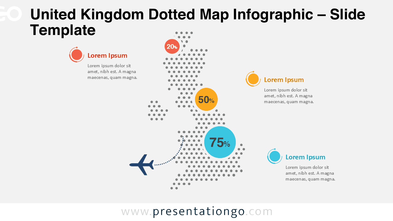
Built with a uniform dotted pattern, this map highlights the United Kingdom while keeping the design minimal and distraction-free. It allows your data points, labels, and callouts to remain the main focus of the slide.
Map Preview


Features and Customization Options
- Fully editable dotted map of the United Kingdom
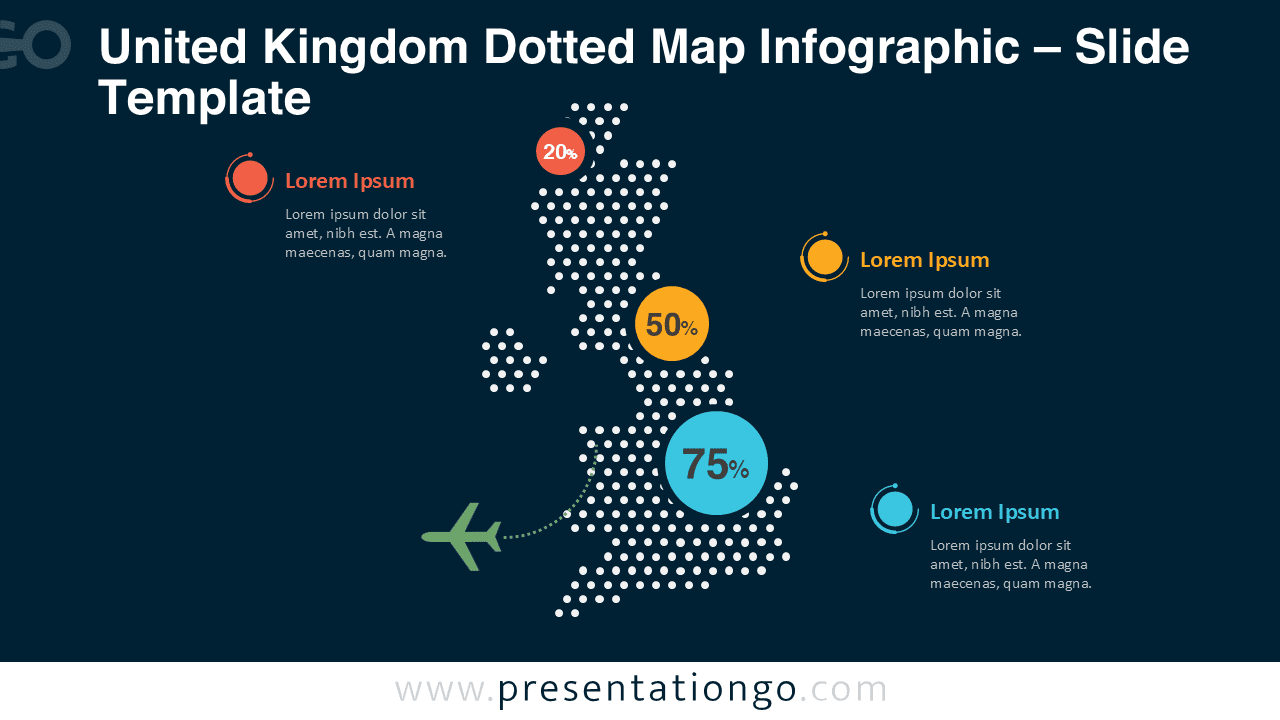
- Two slide versions optimized for light and dark presentations
- Clean dotted structure for precise geographic emphasis
- Customizable colors, labels, and markers
- Compatible with PowerPoint and Google Slides
Design and Structure
This dotted map infographic uses evenly spaced dots to form a recognizable silhouette of the United Kingdom. The minimalist approach ensures visual balance and high readability across different screen sizes. Accent elements help emphasize key regions or percentages without overwhelming the map.
The design adapts easily to different brand palettes. You can recolor the dots, adjust background tones, and resize elements without affecting layout consistency.
Practical Applications
- Geographic data visualization for the UK
- Market presence and regional performance analysis
- Business strategy and expansion presentations
- Educational geography and demographic slides
- Public policy and research reports
Summary
The United Kingdom Dotted Map Infographic offers a practical and visually appealing way to present regional data. Its clean structure, editable elements, and dual background versions make it a versatile asset for any PowerPoint or Google Slides presentation.



