The Atlantic-Centered World Map offers a different perspective on global geography by placing the Atlantic Ocean near the center. Designed for PowerPoint and Google Slides, this editable political map displays individual countries across the world’s major landmasses. Its familiar geographic outlines make it suitable for presentations about international relationships, regional developments, and global affairs.
Diagram Preview
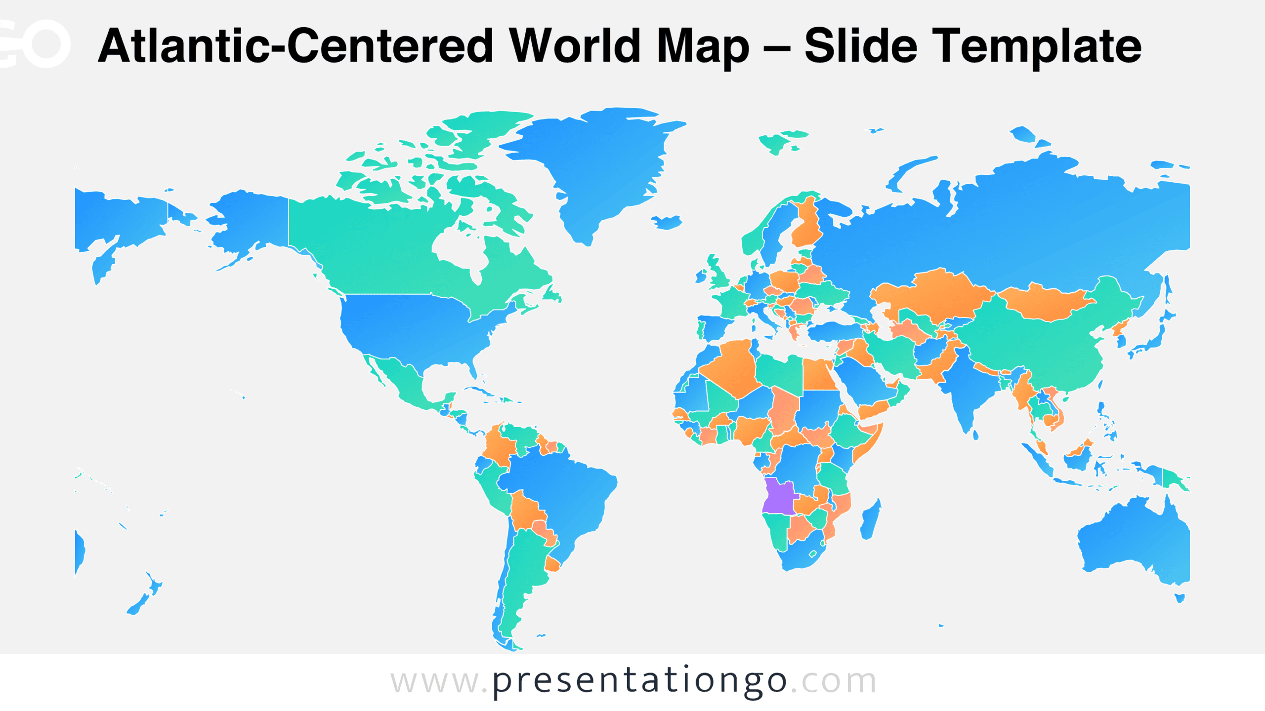
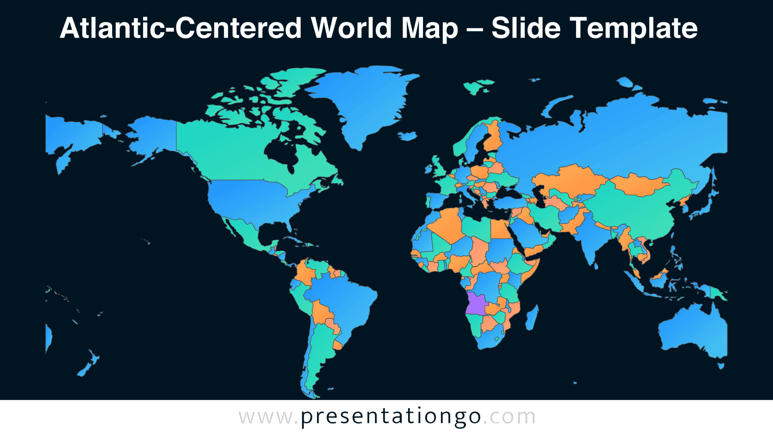
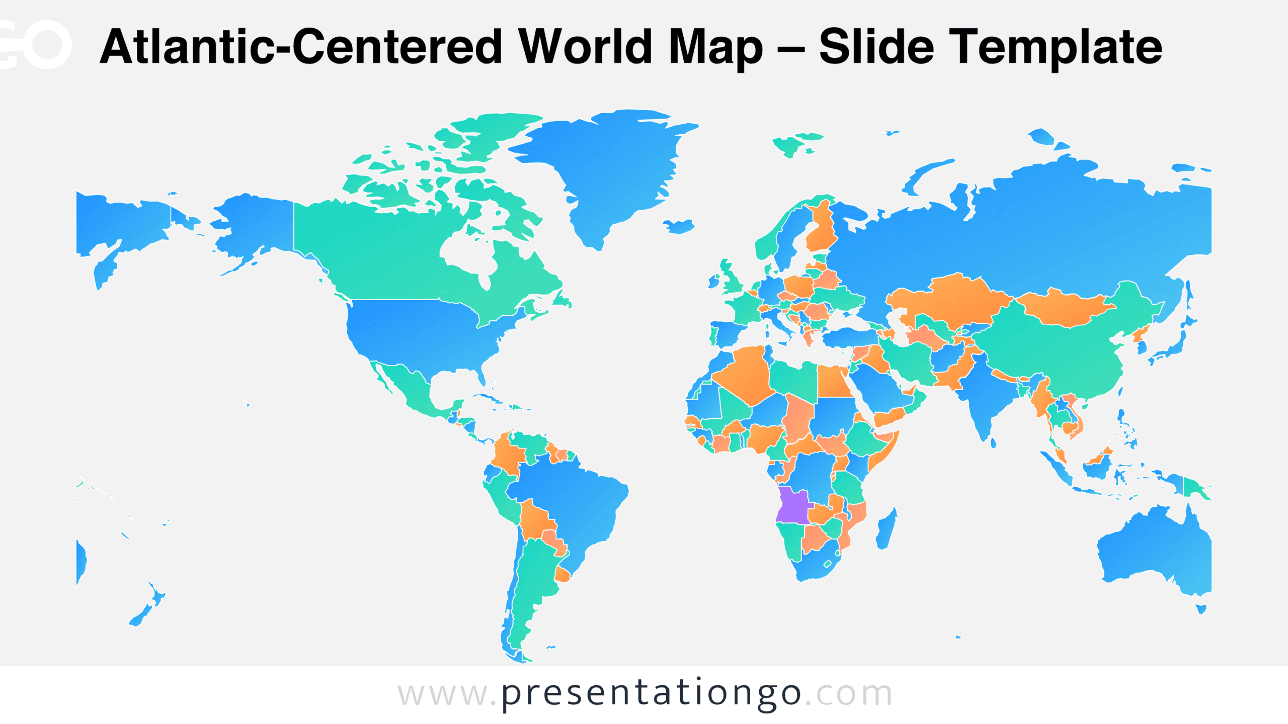
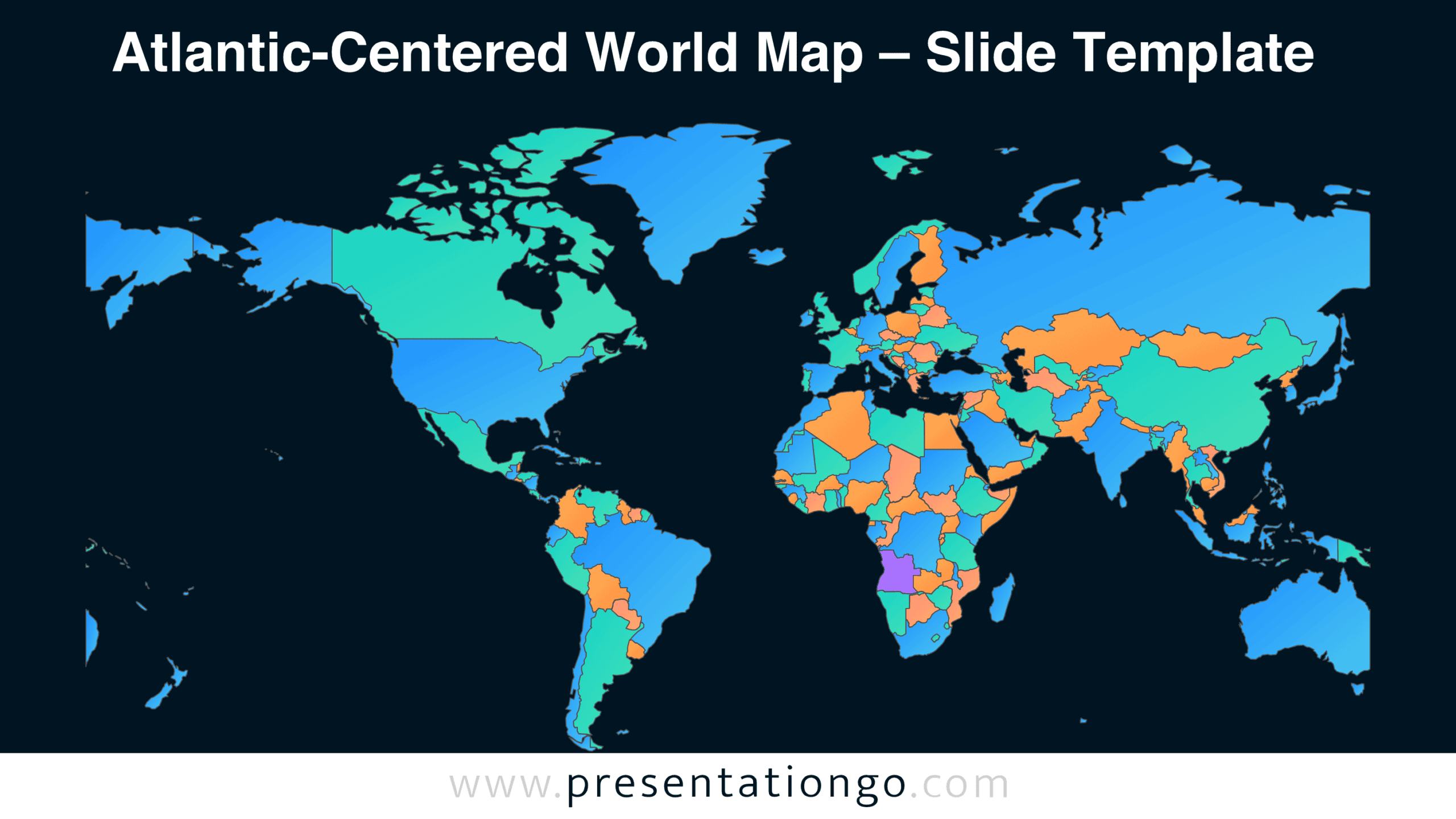
This world map includes two slide versions with different backgrounds. Both display the same geographic arrangement, making it possible to choose the version that fits an existing presentation. Preview the slides below to examine the country boundaries, continental outlines, and overall map composition.
Features and Customization Options
- Compatible with Microsoft PowerPoint and Google Slides
- 16:9 widescreen slide format
- Editable vector map with individual country shapes
- Country boundaries for geographic identification
- Options to add labels, markers, and annotations
- Scalable map elements for different layouts
- Includes both light and dark background versions
Design and Structure
The Atlantic-Centered World Map uses a horizontal geographic arrangement that places the Americas on the left. Europe and Africa appear toward the middle, while Asia and Oceania extend across the right side. This orientation divides the Pacific Ocean between the outer edges of the map. Greenland occupies the upper central area, providing another recognizable reference point. The arrangement emphasizes the geographic relationship between North America, South America, Europe, and Africa.
Country outlines define the political geography, with visible internal borders separating neighboring nations. The map also preserves many smaller geographic features, including islands and coastal territories. Its flat, two-dimensional construction avoids decorative elements that could interfere with geographic interpretation. The illustration occupies most of the slide beneath a prominent heading. This composition provides a direct view of the world without additional charts, legends, or explanatory panels.
Practical Applications
- Compare trade relationships between countries bordering the Atlantic Ocean.
- Identify headquarters and regional offices across international business networks.
- Highlight countries participating in multinational agreements or organizations.
- Illustrate historical connections between Europe, Africa, and the Americas.
- Mark shipping destinations and international transportation hubs.
- Introduce students to global geography and political boundaries.
- Present the geographic scope of international research projects.
- Map countries involved in cross-border partnerships and development programs.
Summary
The Atlantic-Centered World Map combines detailed country boundaries with a perspective that emphasizes connections across the Atlantic. Its editable structure supports geographic annotations, regional comparisons, and country-level presentation content. With two background versions and compatibility with PowerPoint and Google Slides, the map offers a practical starting point for international presentations.