The Pacific-Centered World Map offers a different perspective on global geography, placing the Pacific Ocean at the center. Designed for PowerPoint and Google Slides, this editable political map displays countries with distinct boundaries. It provides a practical visual for geographic analysis, international discussions, and educational presentations.
Diagram Preview
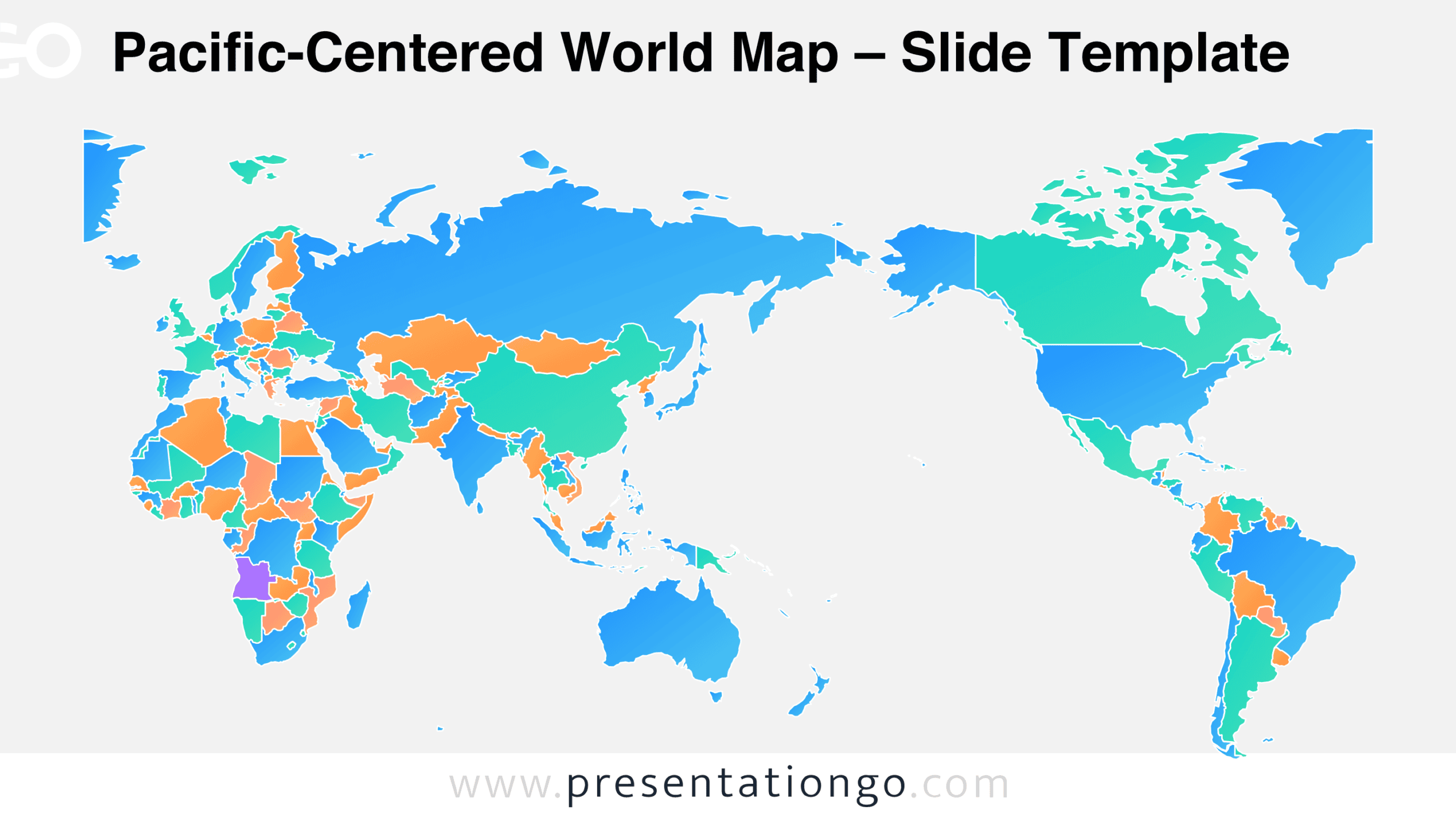
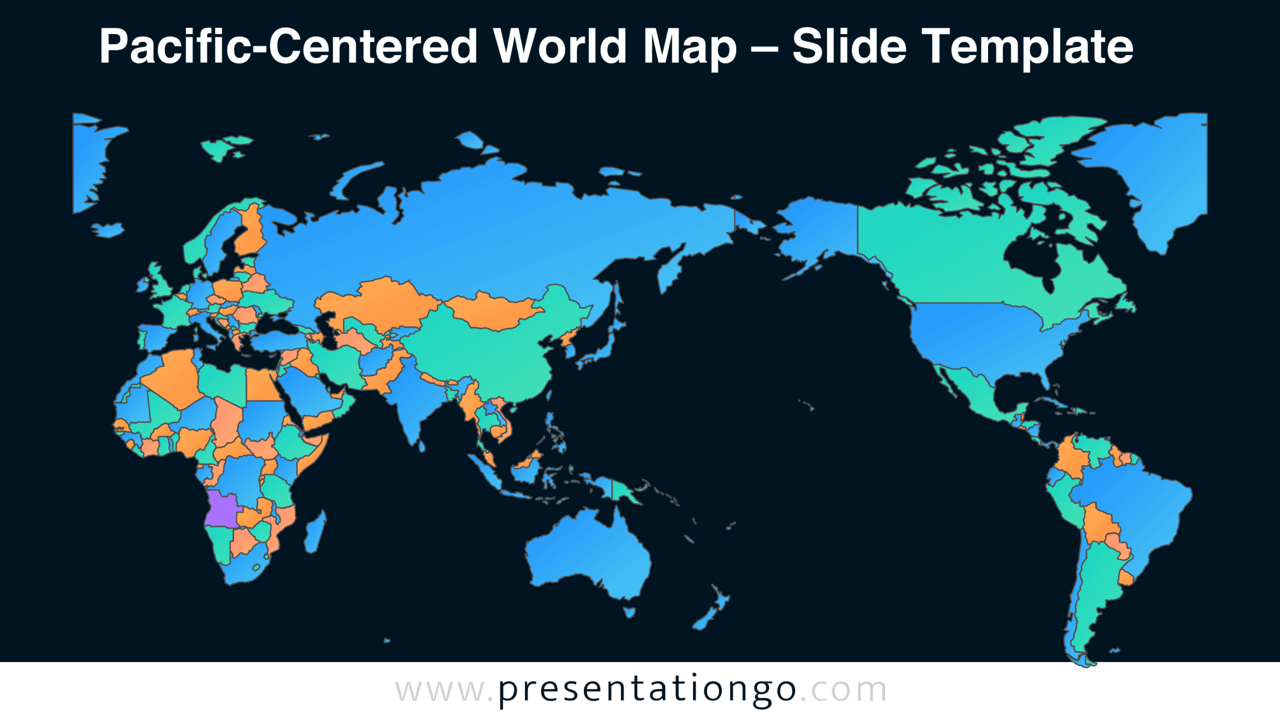
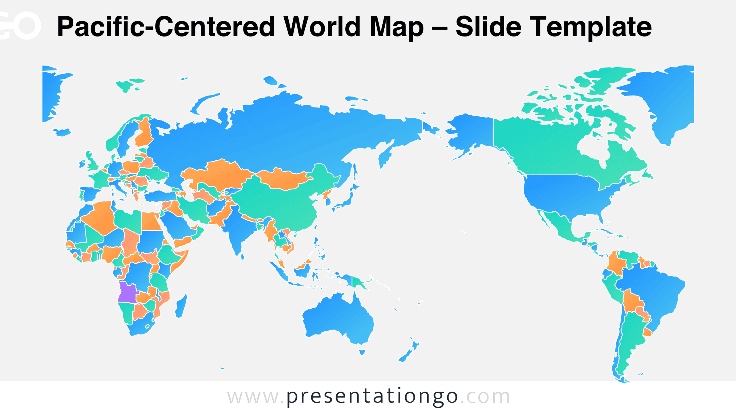
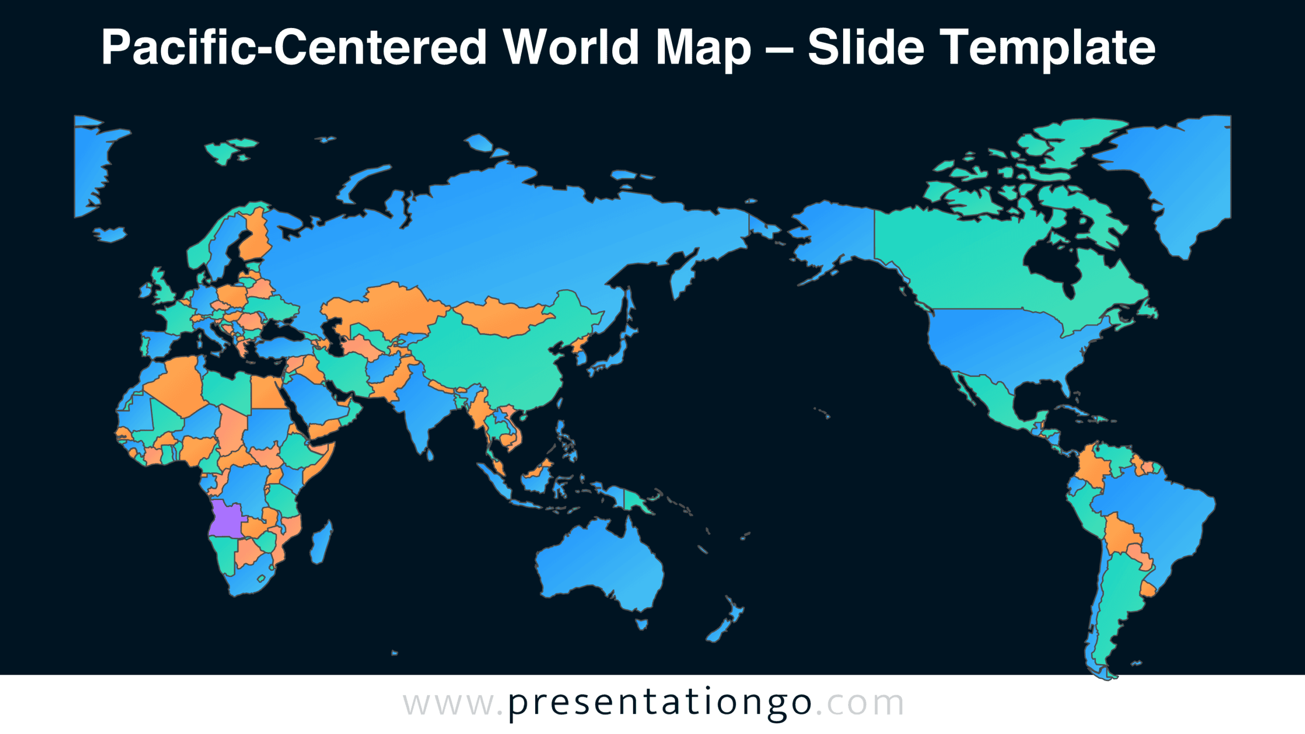
Explore the Pacific-Centered World Map in the preview below. The download includes two slide versions featuring the same geographic layout, allowing you to choose the one that suits your presentation.
Features and Customization Options
- Compatible with Microsoft PowerPoint and Google Slides
- Two slides featuring a Pacific-centered world map
- Editable vector map with individual country shapes
- Adjustable country boundaries and geographic elements
- Supports additional labels, location markers, and annotations
- Includes both light and dark background versions
Design and Structure
Unlike conventional world maps centered on the Atlantic Ocean, this layout places the Pacific Ocean between Asia and the Americas. Asia, Europe, Africa, and Oceania occupy the left portion of the map, while North and South America appear on the right. This arrangement creates a continuous geographic view across the Pacific. It also highlights the relative positions of countries bordering the world’s largest ocean.
The map presents national territories through individual geographic shapes separated by visible borders. Coastlines follow the outlines of continents and islands, preserving recognizable geographic forms. Smaller countries appear alongside larger territories, creating a detailed political representation. The design excludes unnecessary decorative elements, legends, and data labels. This leaves room for presenters to introduce their own information without competing with existing annotations. The horizontal composition also provides a broad view of global geography within a single slide.
Practical Applications
- Identify major trade routes connecting East Asia with North America.
- Compare geographic positions of countries within the Asia-Pacific region.
- Present international shipping networks and trans-Pacific supply chains.
- Explain regional partnerships involving Pacific Rim economies.
- Teach students how map centering influences geographic perspectives.
- Locate countries involved in international agreements and diplomatic initiatives.
- Illustrate worldwide business operations and regional market coverage.
- Mark research locations for environmental or oceanographic studies.
- Show the geographic distribution of international offices or facilities.
Summary
The Pacific-Centered World Map combines a country-level political layout with an unconventional geographic perspective. Its editable elements and two slide versions support a wide range of presentation needs. Download this free resource to build maps tailored to your geographic subject and audience.