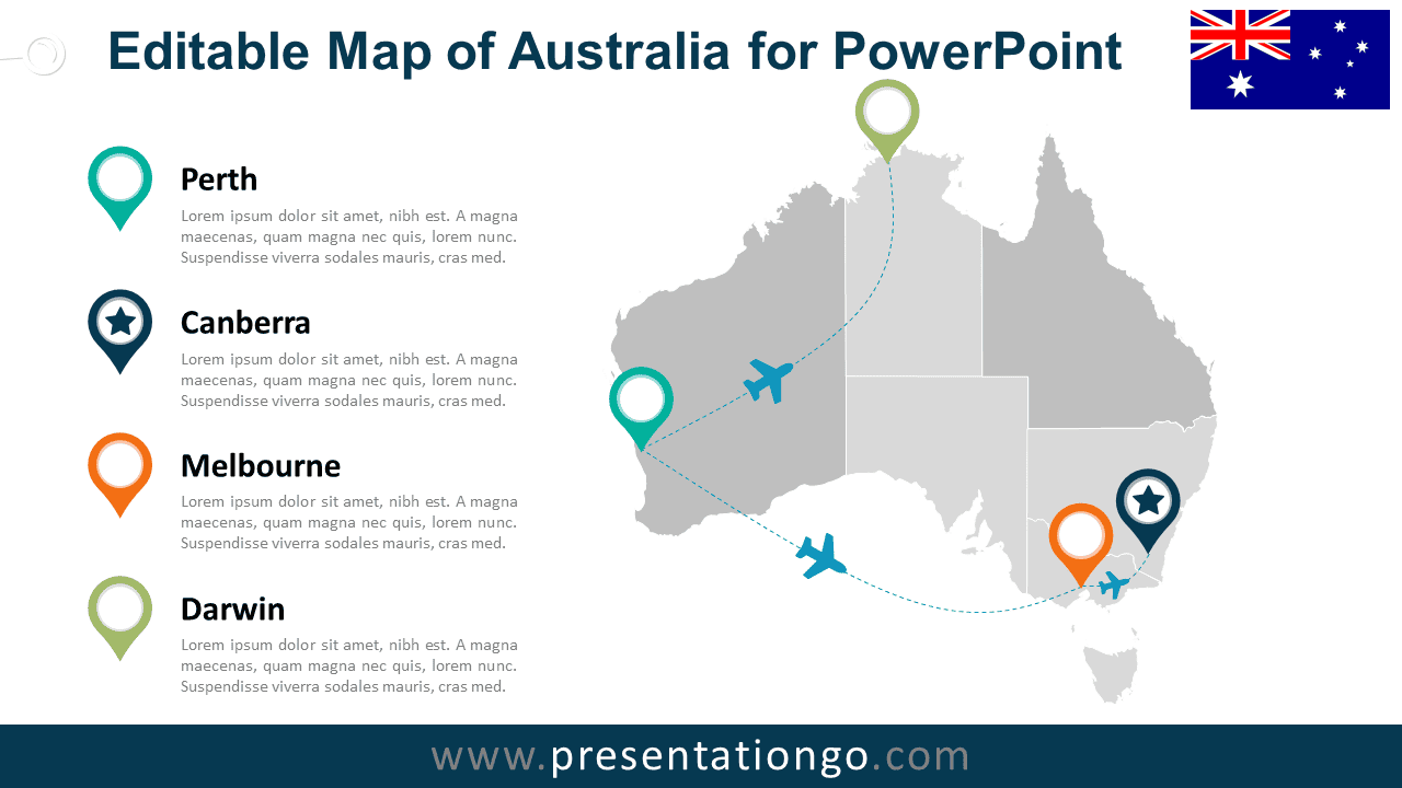
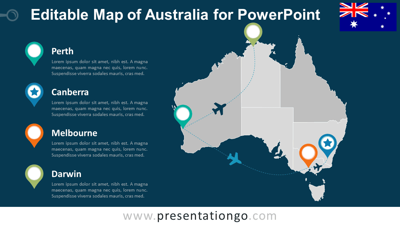
The Editable Australia Map Diagram for PowerPoint combines a detailed map of Australia with city markers, travel routes, and supporting text areas. Use it to present office locations, regional operations, business coverage, logistics networks, travel plans, or multi-city projects across Australia.
Diagram Preview


Features and Customization Options
- Includes 16:9 and 4:3 versions for Microsoft PowerPoint
- Includes 2 editable slides with matching layouts
- Editable vector map with selectable states and territories
- Editable text, shapes, colors, and icon placeholders
- Editable route lines and location markers
- Includes both light and dark background versions
Design and Structure
The Editable Australia Map Diagram places a detailed map of Australia at the center of the slide, with state and territory boundaries visible throughout the country. Location markers identify selected cities, while curved route paths and airplane shapes connect key points across the map. An Australian flag element reinforces the geographic context without distracting from the main visual.
Supporting text areas sit beside the map and give each highlighted city space for a heading and short description. You can edit the map shapes, location markers, route lines, labels, airplane elements, and icon placeholders directly in PowerPoint. Replace existing placeholders with your own graphics, reposition markers, or adjust routes to match your presentation. The package includes both 16:9 and 4:3 presentation sizes.
Practical Applications
- Show company offices across Australia
- Present domestic travel or flight routes
- Map logistics and distribution networks
- Highlight sales territories or market coverage
- Present multi-city projects or events
- Explain regional expansion or business presence
Summary
The Editable Australia Map Diagram provides a flexible PowerPoint layout for presenting locations, routes, and regional information across Australia. Its editable map shapes, markers, travel paths, text areas, and placeholders suit business, logistics, travel, sales, and geographic planning presentations.