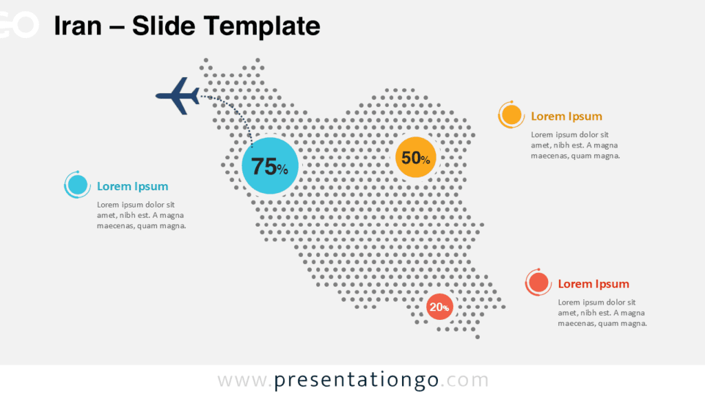
Free map of India for PowerPoint and Google Slides. Map with Indian States and Union territories and colored location pins. Fully editable graphics with text placeholders.
Map of India
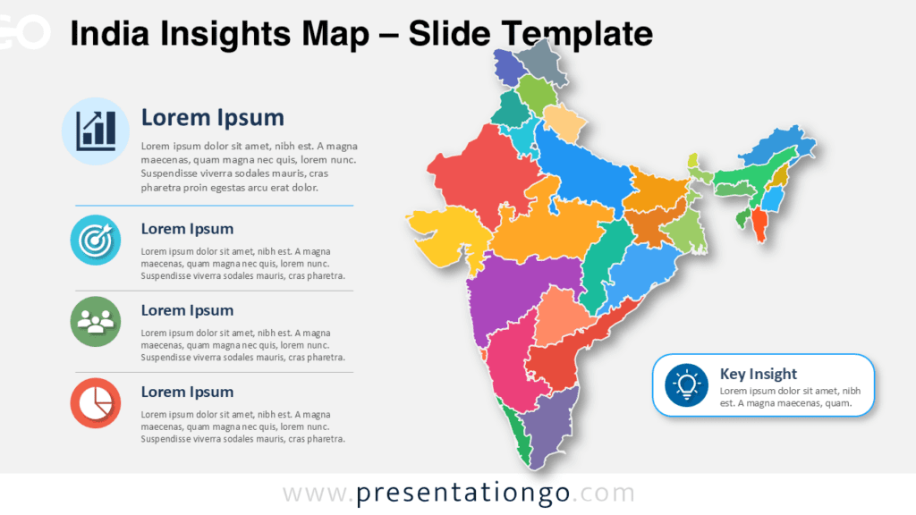
Are you mapping out your next presentation and feel something is missing? A map of course! This India Editable PowerPoint Map slide template offers everything you could wish for since it is highly precise and fully editable.
Take your audience on a virtual trip to India! You can drag and detach, color, and highlight each one of them. Moreover, you can use color pins to mark particular locations (capitals, cities, and places of interest).
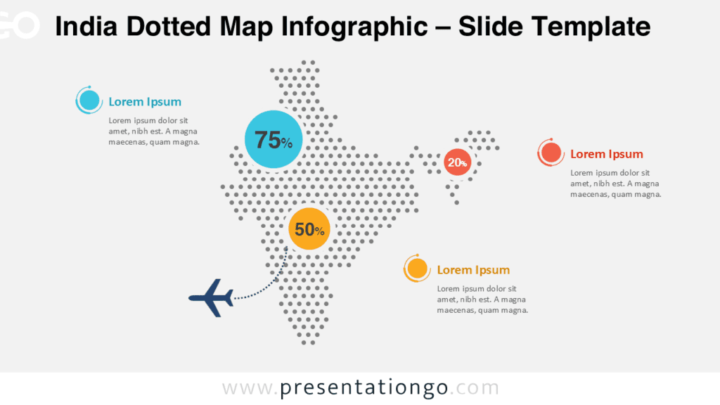
The slide also includes the official flag of the country and text placeholders to specify your information. Finally, you can enjoy other graphics to showcase all your statistics, travel routes, demographic or geographical facts. Also great to locate your different offices or warehouses.
This free map of India offers both a clean and professional design and customizable slides. It is obviously ideal for history and geography lessons. However, you can use it to present statistics, databases, business, and sales numbers.
Thanks to this free India Editable PowerPoint Map slide template for PowerPoint and Google Slides, you will definitely put yourself on the map.
Shapes are 100% editable: colors and sizes can be easily changed.
Includes 2 slide option designs: Standard (4:3) and Widescreen (16:9).
Widescreen (16:9) size preview:


This ‘India Editable PowerPoint Map’ features:
- 2 unique slides
- Light and Dark layout
- Ready to use template with text placeholders
- Completely editable shapes – Each state is an individual object so that it can be colored and customized
- Uses a selection of editable PowerPoint icons
- Standard (4:3) and Widescreen (16:9) aspect ratios
- PPTX file and Google Slides
Free fonts used:
- Helvetica (System Font)
- Calibri (System Font)


Comments are closed.