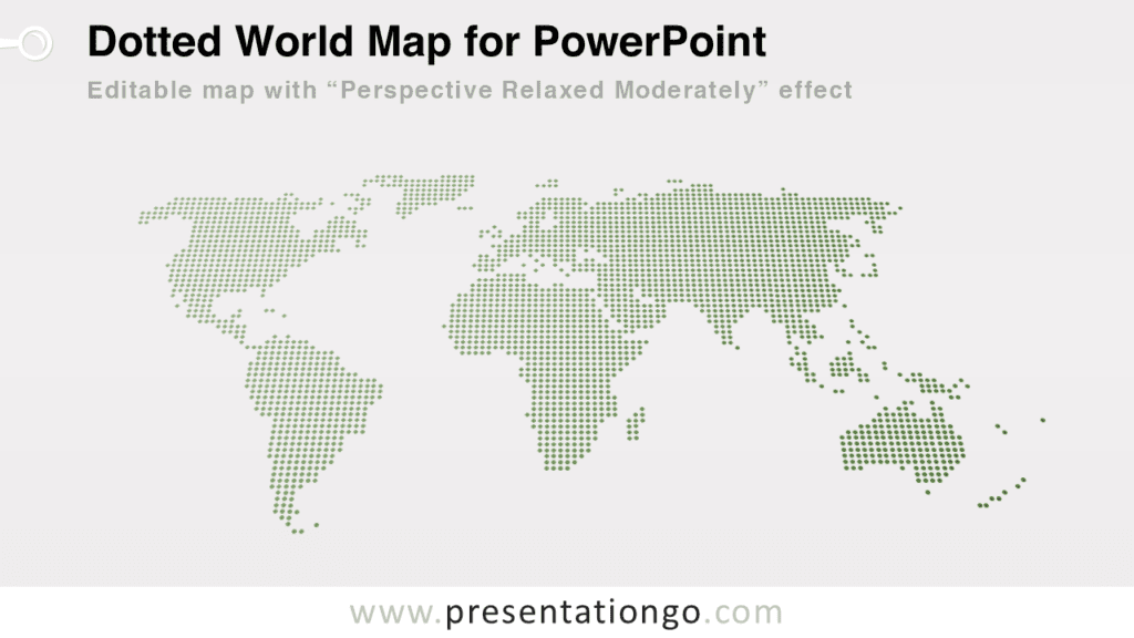
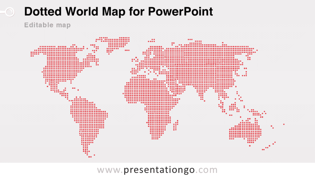
Free dotted worldmap with pins for PowerPoint. Perspective map of the world designed with dots. Different colors for each continent. Editable graphics with text placeholder.
Dotted Worldmap with Pins
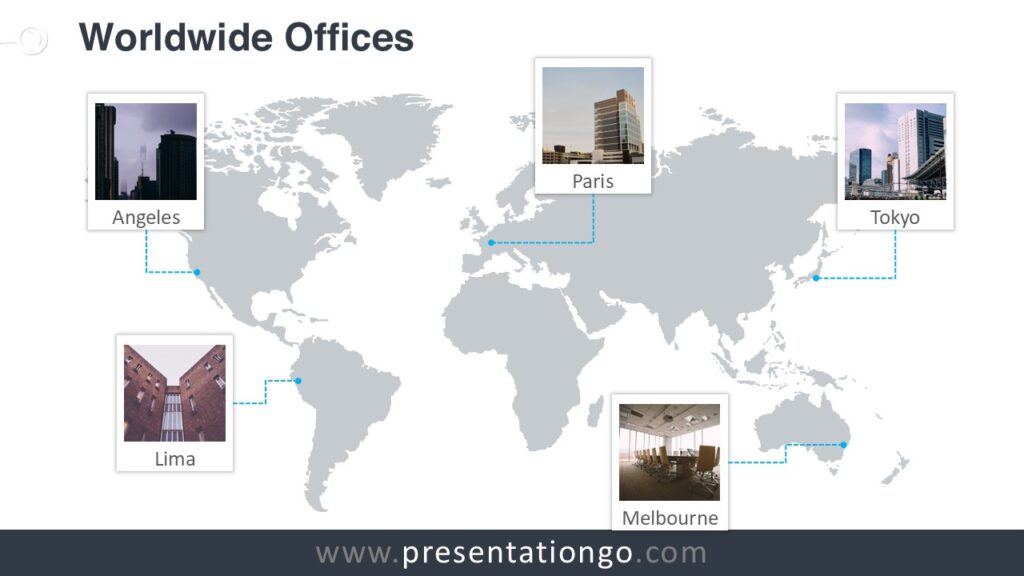
Use this map for your infographic information, to visualize geographical data, to locate offices or some specific places, sales territories, to show paths, travel routes, etc.
Shapes are 100% editable: colors and sizes can be easily changed.
You can easily add or remove events (i.e., pins or continents) to match your needs.
Includes 2 slide option designs: Standard (4:3) and Widescreen (16:9).
Widescreen (16:9) size preview:


This ‘Dotted Worldmap w/ Pins for PowerPoint’ features:
- 2 unique slides
- Light and Dark layout
- Ready to use template with text placeholder
- Completely editable shapes
- Uses a selection of editable PowerPoint icons
- Standard (4:3) and Widescreen (16:9) aspect ratios
- PPTX file
Free fonts used:
- Helvetica (System Font)
- Calibri (System Font)


Comments are closed.