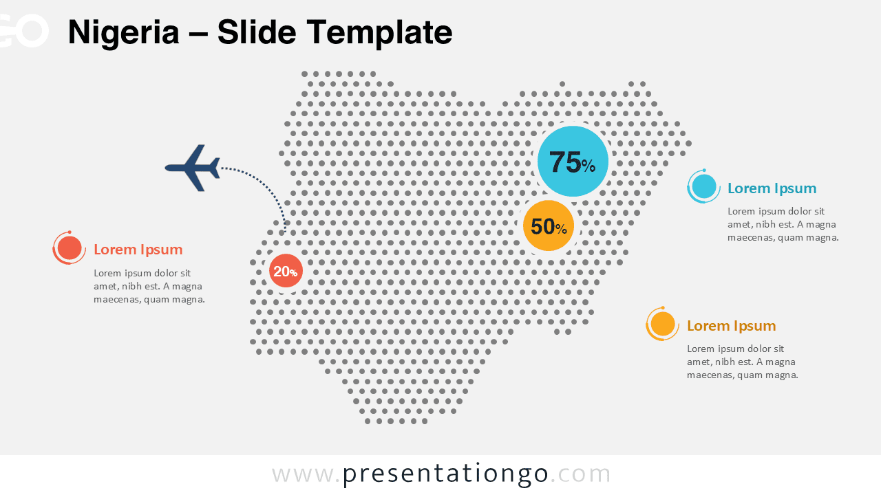
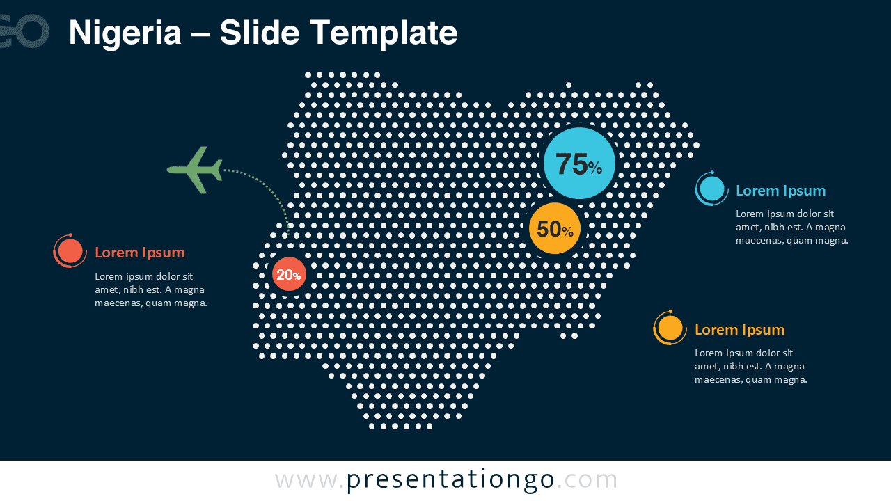
The Nigeria Dotted Map Infographic offers a clean and modern way to present geographic data in PowerPoint and Google Slides presentations. Designed with a dotted silhouette of Nigeria, this infographic helps visualize regional statistics, market distribution, logistics networks, and demographic insights with clarity.
The map is composed of evenly spaced circular dots that form the recognizable outline of Nigeria. This design gives the slide a modern infographic appearance while keeping the layout simple and professional. Highlight markers and text placeholders allow presenters to emphasize key locations, statistics, or strategic insights across the country.
Map Preview
Features and Customization Options
- Editable dotted map of Nigeria built with vector shapes
- Two slide versions included for light and dark presentations
- Fully customizable colors and text placeholders
- Percentage markers for highlighting statistics
- Modern infographic layout suitable for professional presentations
- Compatible with both PowerPoint and Google Slides
Design and Structure
The infographic places the dotted map of Nigeria at the center of the slide, surrounded by text placeholders and circular markers used to highlight data points. The map uses evenly spaced dots that create a balanced visual texture while maintaining geographic recognition.
Colorful circular markers draw attention to specific data points on the map. These markers can represent percentages, growth metrics, population statistics, or key business indicators. Supporting callout sections allow presenters to explain insights clearly without cluttering the map itself.
Two versions of the slide are included. The first uses a light background suitable for bright presentation themes. The second version features a dark background designed for modern and high-contrast slide decks.
Practical Applications
- Market analysis across Nigeria
- Regional statistics presentations
- Logistics and transportation mapping
- Travel and aviation routes
- Sales distribution visualization
- Demographic or population insights
- Business expansion strategies
Summary
The Nigeria Dotted Map Infographic is a versatile visual tool for presenting geographic information in a clear and engaging way. With its modern dotted design, customizable elements, and compatibility with PowerPoint and Google Slides, this infographic helps transform complex regional data into easy-to-understand visuals for professional presentations.