Free map of Portugal for PowerPoint and Google Slides. Map with the Portuguese districts, colored location pins, and flag. Fully editable graphics with text placeholders.
Map of Portugal
Portugal, officially the Portuguese Republic is a country located mostly on the Iberian Peninsula, in southwestern Europe.
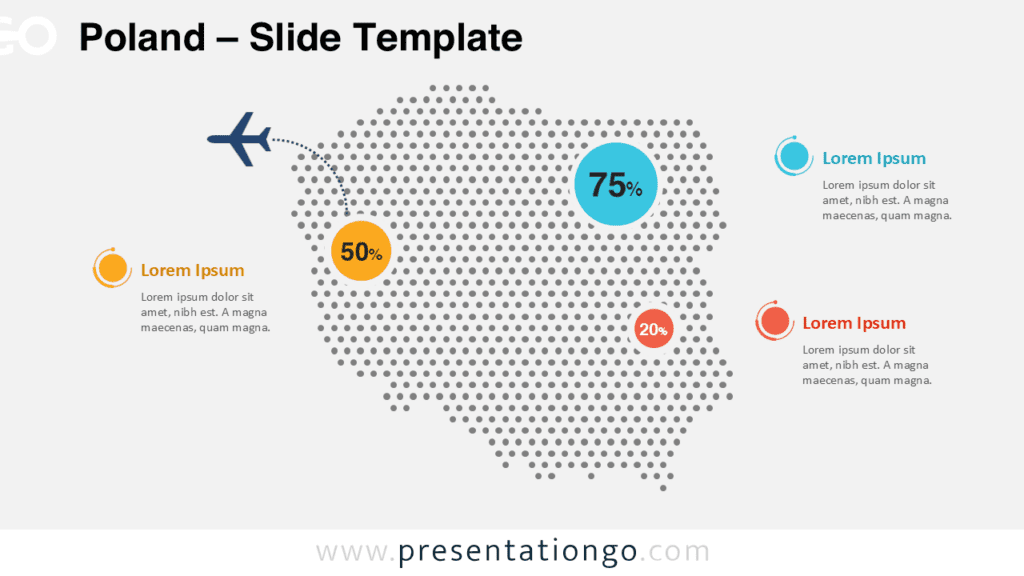
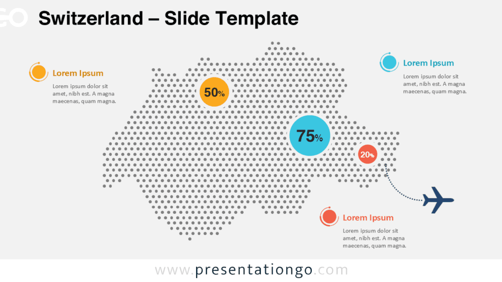
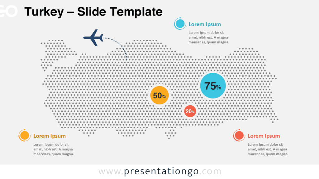
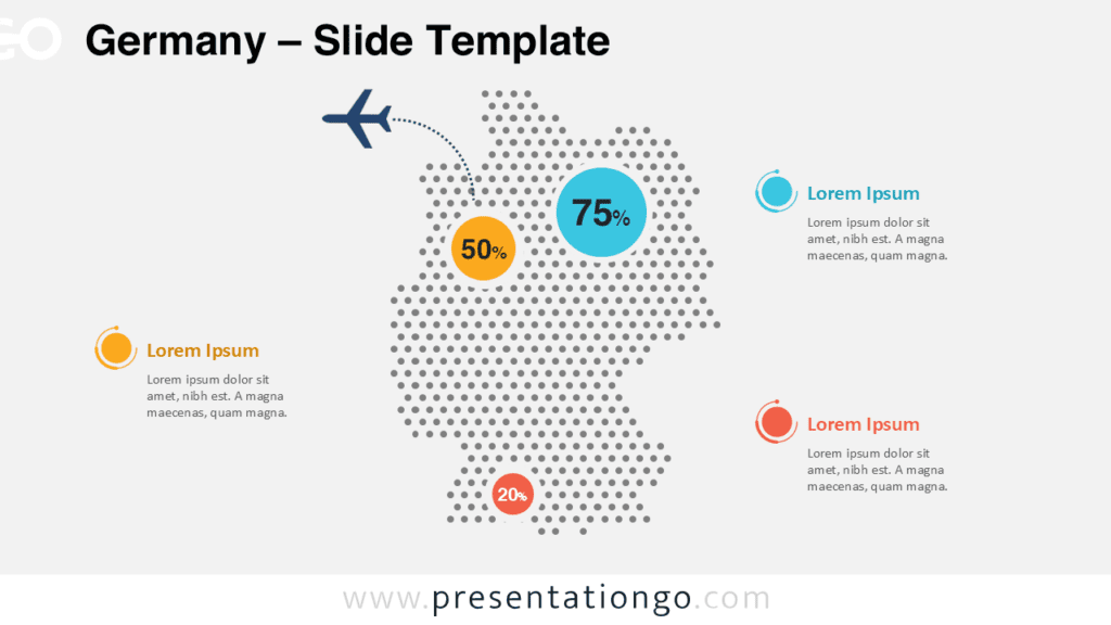
Editable Portugal map with the 18 districts. For example, you can use this map of Portugal for your infographic information, to visualize geographical data, to locate offices or some specific places, sales territories, to show paths, travel routes, etc.
Shapes are 100% editable: each individual Portuguese district is an independent shape that can easily be separated, dragged, colored, outlined, and labeled.
Includes 2 slide option designs: Standard (4:3) and Widescreen (16:9).
Widescreen (16:9) size preview:


This ‘Map of Portugal for PowerPoint and Google Slides’ features:
- 2 unique slides
- Light and Dark layout
- Ready to use template with text placeholders
- Completely editable shapes – Each district is an individual object so that it can be colored and customized
- Uses a selection of editable PowerPoint icons
- Includes data-driven charts (PPTX version only)
- Standard (4:3) and Widescreen (16:9) aspect ratios
- PPTX file and Google Slides
Free fonts used:
- Helvetica (System Font)
- Calibri (System Font)