Belgium Dotted Map Infographic
A clean Belgium dotted map infographic designed for clear geographic data presentation in PowerPoint and Google Slides.
Google SlidesPPTX
16:9
Find free PowerPoint maps and flag graphics for regional, national and global presentations. Every world, continent and country map is editable, so you can recolor regions and add data in PowerPoint or Google Slides.
Google SlidesPPTX
16:9
PPTX
4:3,16:9
Google SlidesPPTX
4:3,16:9
Google SlidesPPTX
4:3,16:9
PPTX
4:3,16:9
PPTX
4:3,16:9
PPTX
4:3,16:9
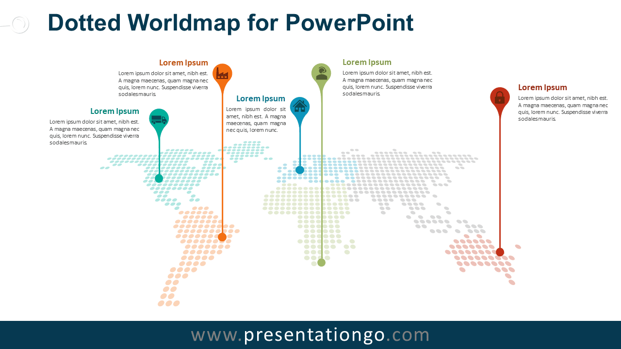
PPTX
4:3,16:9
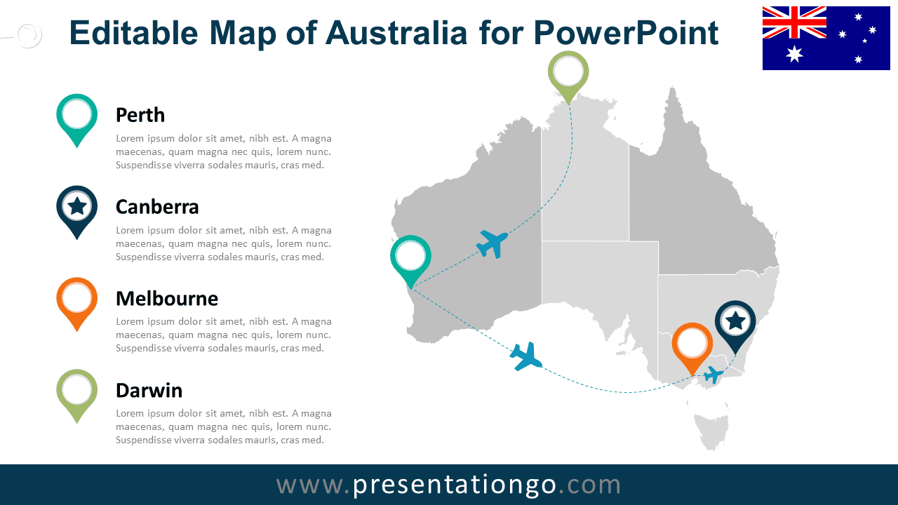
PPTX
4:3,16:9

PPTX
4:3,16:9
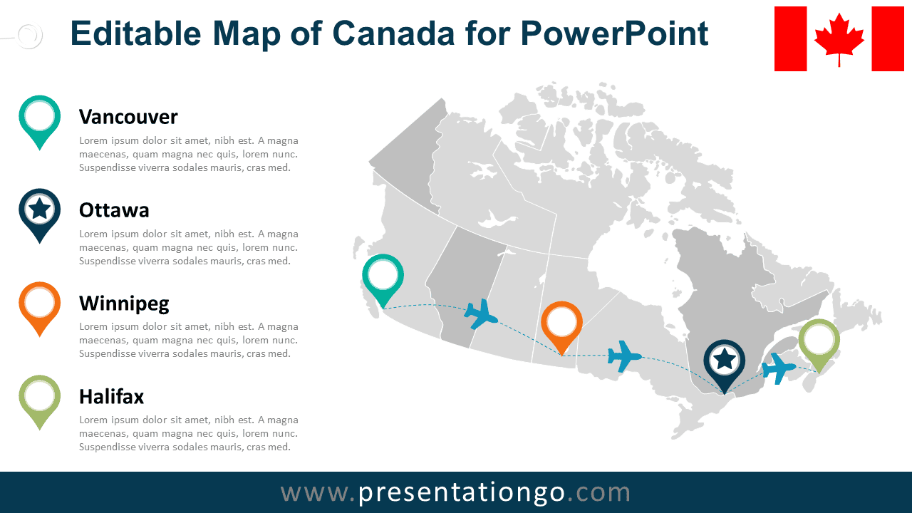
PPTX
4:3,16:9
Showing 1–13 of 15 templates